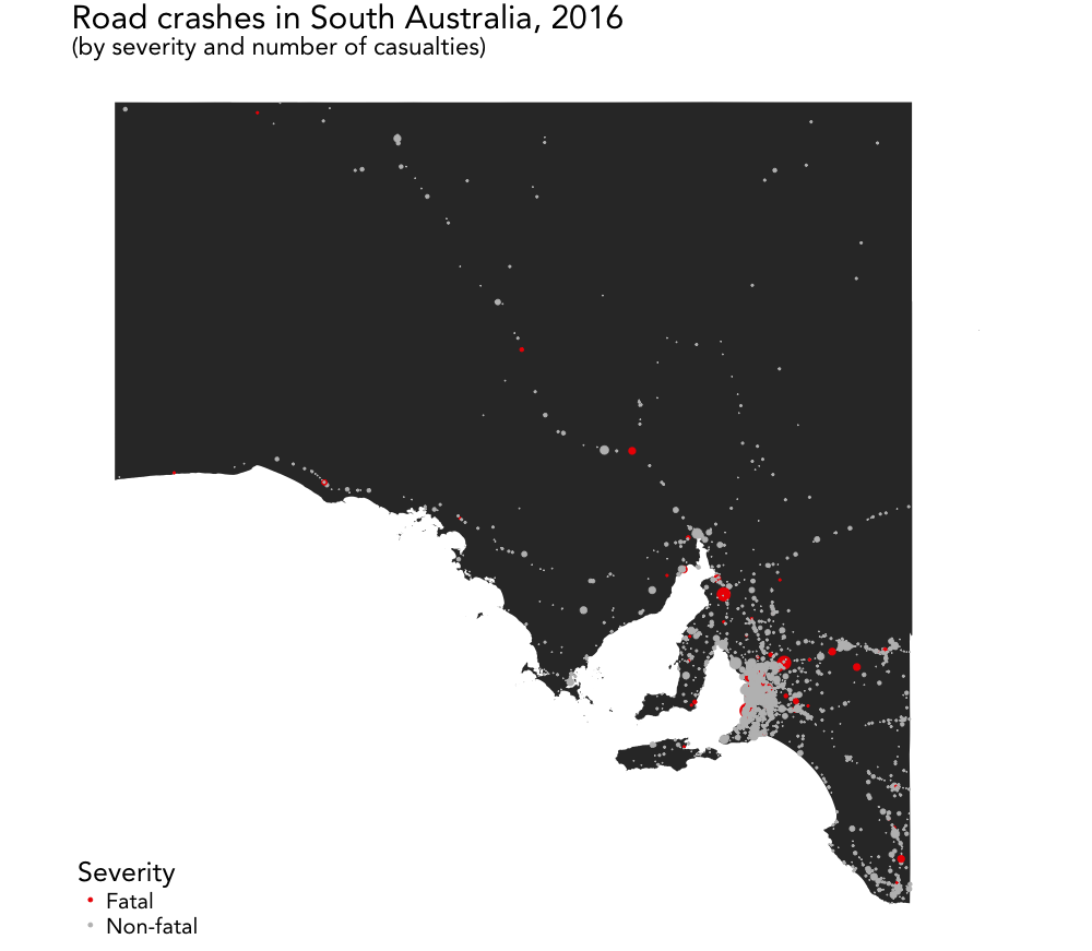
Script for wrangling, geocoding, analyzing, and mapping Australian road accident data
Corresponding blog post: https://lhehnke.github.io/notes/2018/01/23/road-accidents-south-australia
The script covers
- downloading and cleaning data on road crashes in South Australia
- geocoding and mapping (non-)fatal crashes in South Australia and Adelaide using ggplot2 and ggmap
- analyzing/visualizing
- the number of crashes by crash type and severity
- total casualties and fatalities by crash type
- using ggplot2 for modern visualizations (lollipop and dot charts) of road crashes
using data provided by the South Australian Government Data Directory for the year 2016.
Example plot:
